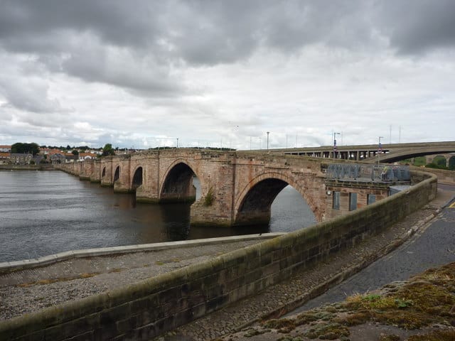
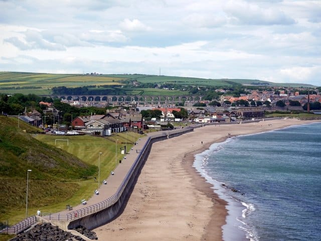
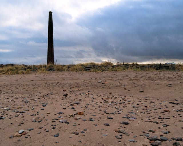
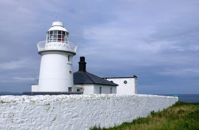
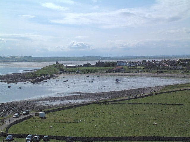
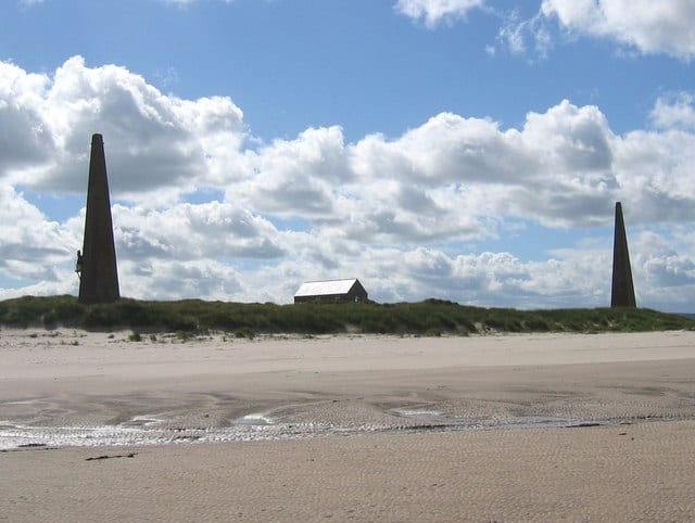
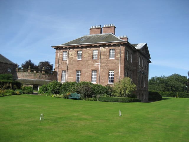
Berwick-upon-Tweed is on the North Sea Northumberland coastline and is the northern most town in England, located just 4km (2.5 miles) from the Scottish border. Berwick-upon-Tweed has four sandy beaches, beautiful riverside (River Tweed) walks and great nearby coastline. Due to it's border location the town has had a turbulent past with many battles between the Scots and English. This history can still be seen today with Elizabethan town walls and the barracks. L S Lowry produced more than thirty drawings and paintings of the Berwick area. A Lowry Trail will take you through many of the famous locations and is approximately 5-6 miles long. Why not join Lowry in making Berwick a base from which to explore the Northumberland area.
Berwick-upon-Tweed Northumberland Coast Map
Sorry, no records were found. Please adjust your search criteria and try again.
Sorry, unable to load the Maps API.
Want some ideas on where to visit?
Every favourite location must be visited for the first time. Want some ideas, why not check out the below small selection of coastal locations, including beaches, activities, things to see and do, and places to stay and eat:

