Places Map
Loading...
No Records Found
Sorry, no records were found. Please adjust your search criteria and try again.
Maps failed to load
Sorry, unable to load the Maps API.
Popular Places
Showing Places 1-12 of 34
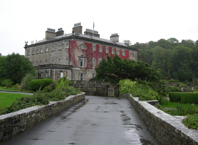
Westport House – visitors can tour 300 years of Irish heritage in this beautiful manor home and enjoy a myriad Read more…
Place Tags: History - Heritage
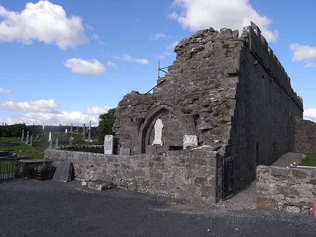
The Murrisk Augustinian Friary was founded on lands granted by Thady O’Malley in 1457 and the Friary is built on the site reputed Read more…
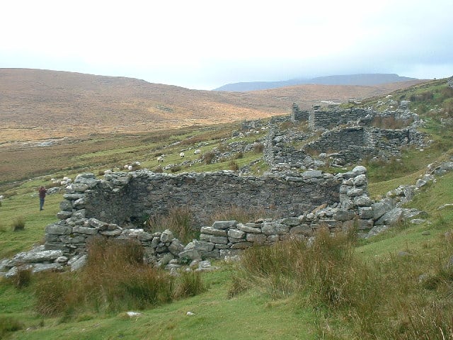
The Deserted Village at Slievemore consists of some 80 to 100 stone cottages located along a mile long stretch of Read more…
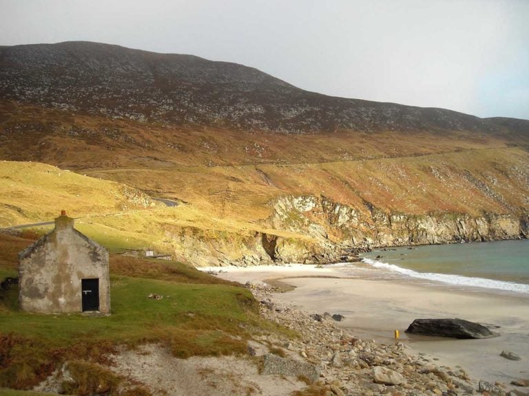
Keem Beach is a remote small sandy beach sheltered by the cliffs on Achill Island. The beach is nestled within Read more…
Place Tags: Beaches and Blue Flag Awards
Mullaghroe beachis a sandy beach backed by dunes and salt marshes. The bay is an area of scientific interest and Read more…
Place Tags: Beaches and Blue Flag Awards
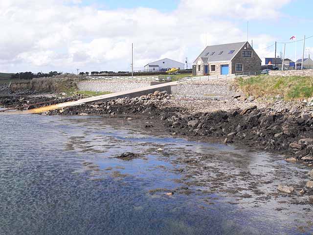
Ballyglass lifeboat station is one of the newer lifeboat stations and operates both an inshore and offshore boat. The station Read more…
Place Tags: Lifeboats
The Knock Shrine is a Roman Catholic pilgrimage site and National Shrine where observers stated that there was an apparition of the Blessed Virgin Mary, Saint Joseph, Saint John the Read more…
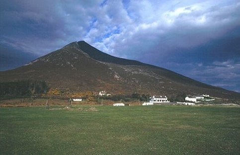
Slievemore is the second highest (671m) peak on Achill Island. Read more…
Place Tags: Outdoors - Nature
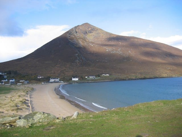
Dugort Beach is a small sandy beach located on Achill Island. The area around the beach is within a Special Read more…
Place Tags: Beaches and Blue Flag Awards
Ross beach is a sandy beach within Killala Bay. Killala Bay is an estuary with mudflats lining the sides of Read more…
Place Tags: Beaches and Blue Flag Awards
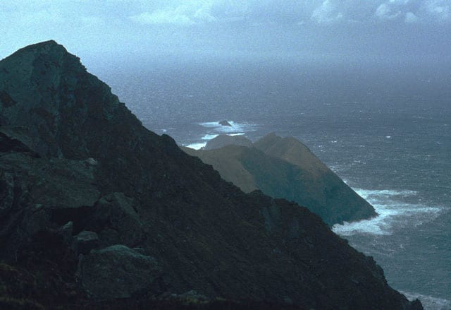
Croaghaun is a mountain in County Mayo and at 688 metres it has the highest sea cliffs in Ireland as well as the third highest sea cliffs Read more…
Golden Strand beach is a sandy beach just to the east of Dugort. The beach here is backed by dunes Read more…
Place Tags: Beaches and Blue Flag Awards
Showing Places 1-12 of 34

