Places Map
Loading...
No Records Found
Sorry, no records were found. Please adjust your search criteria and try again.
Maps failed to load
Sorry, unable to load the Maps API.
Popular Places
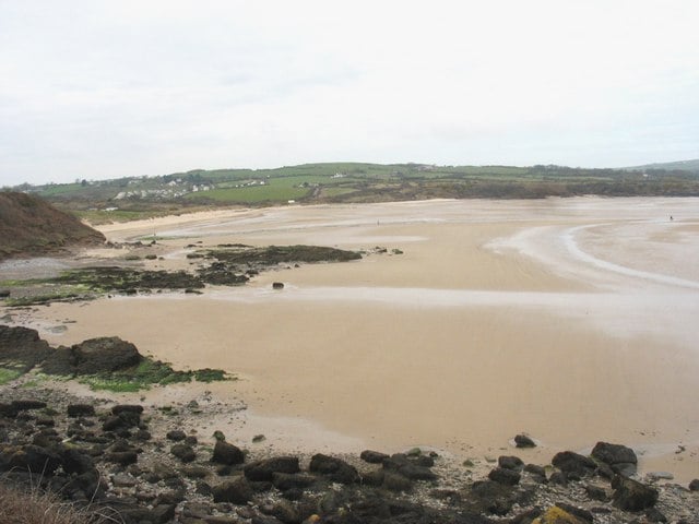
Lligwy Bay beach is a secluded wide sandy horseshoe beach backed by sand dunes on the North East coast of Read more…
Place Tags: Beaches
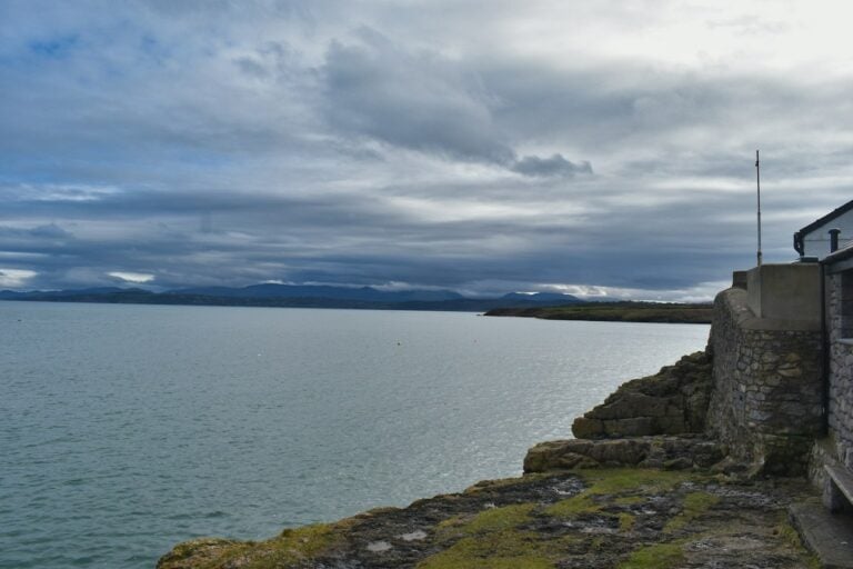
Moelfre lifeboat station was established in 1848 and now has inshore and all-weather lifeboats. Visitors can see the Tamar Class Read more…
Place Tags: Lifeboats
Moelfre RNLI Seawatch Centre tells the story of Moelfre’s maritime and lifeboat history, including medal-winning rescues, historical shipwrecks and fascinating Read more…
Moelfre Beach, located on the northeast coast of Anglesey in North Wales, is a picturesque and tranquil spot. The lifeboat Read more…
Place Tags: Beaches and Dog Friendly
Beach: Lligwy Bay Beach View: Views across sandy beach to the sea and bay What’s on the menu?: Small cafe Read more…
Place Tags: Cafes
Capel Lligwy is a stone chapel on a hillside overlooking Lligwy Bay. On a clear day you can see the Read more…
Place Tags: History - Heritage
Din Lligwy Huts are well-preserved stone-built huts in an enclosure dating from the Romano-British period. Excavation has revealed a variety of Read more…
Place Tags: History - Heritage
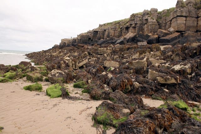
Porth Forllwyd is a small sandy beach edged by rocks and sits East of the larger sandy Lligwy Bay. No Read more…
Place Tags: Beaches


