Advertisement
Dale Fort
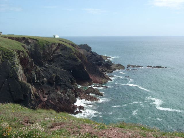
Dale Fort is a mid-19th century coastal artillery fort at Dale Head, Pembrokeshire.
The fort occupies the easternmost end of the promontory and is protected by a ditch cut into the rock. The ditch stretches across the promontory and down to the shoreline on either side. The landward (western) side of the fort facing the ditch consists of a loopholed wall, in the centre of which is a bastion with positions for three guns.
Visit Dale Fort
Dale Fort, Pembrokeshire Coast National Park, Dale, Pembrokeshire , United Kingdom
No Records Found
Sorry, no records were found. Please adjust your search criteria and try again.
Maps failed to load
Sorry, unable to load the Maps API.
(Get directions)
7 Day Weather Forecast
Dale weather forecast from Yr, delivered by the Norwegian Meteorological Institute and NRK
You may also like ...
In this 'you may also like' section we attempt to answer what else can I do? Here you have a list by order of being the closest some more beaches, things to see and do, accommodation, places to eat and upcoming events.
Where to stay ...
Booking.com
The William Owen is a Wetherspoon pub in Haverfordwest, Pembrokeshire. Our pub offers a range of real ales, craft beers and freshly ground Lavazza coffee. Breakfast is served until noon, with our full food menu available until 11 pm.
Read more…
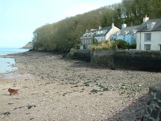
Dale beach is a mixture of shingle and muddy sand. Dale is a small village in the heart of the Pembrokeshire Coast National Park, West Wales. Located on the Dale Peninsula which forms the northern side of the entrance to Milford Haven estuary. Pembrokshire has some of the best sailing conditions to be found anywhere off the coast of Britain,
Read more…
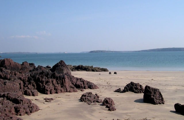
Watwick Bay beach is a small quiet sheltered bay with a sandy beach close to the town of Dale. The beach has some interesting rocks and is popular for those wanting to get away from the crowds, swimming, sailing (good anchorage) and walking as it sits by the Pembrokeshire Coastal Path. Limited car parking about a 5 minute walk away
Read more…
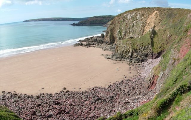
St. Ishmaels beach in Lindsway Bay is only accessible from the Pembrokeshire coastal path or across playing fields from the village. The beach is a sand and shingle mix, backed by tall cliffs and with rock pools at low tide. No facilities at the beach as it is accessed by the coastal path, the nearest facilities are located in the village
Read more…
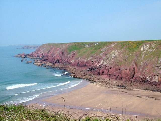
Westdale Bay close to the village of Dale with a footpath leading down a steep grassy bank to a sandy beach surrounded by cliffs. There are no facilities at the beach, but the nearby village of Dale offers shops. Parking is limited along the roadside, from where it is a 10 minute walk along the coast path to the beach.
Read more…
Milford Haven has long been recognised by merchants and shipowners as one of Britain’s finest deep water harbours – it was from here that Henry II led his army into Ireland in 1172. Now large fleets of trawlers and oil tankers gather in the anchorage. At the approach to this famous port lie dangerous reefs just below the surface, almost
Read more…
Angle lifeboat station was first built in 1868 and the current station was completed in 1992 after structural problems with the original station. The station has inshore and all-weather lifeboats.
Read more…
Little and Broad Haven lifeboat station located in the southern corner of St Bride’s Bay and has an inshore lifeboat. There has been a station since 1882, although originally called Littlehaven. Shop has limited opening times and station open by appointment only.
Read more…
The small island of Skokholm, just 1¼ miles long by ½ mile wide, lies just off the Pembrokeshire coast, and the lighthouse is situated on the South West point of the island. The island has high cliffs rising sheer from the sea to well over 30 metres in many places, and a great variety of bird life is to be
Read more…