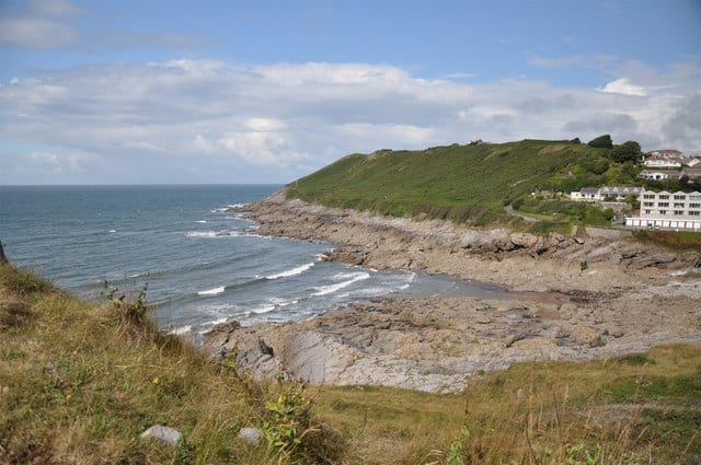
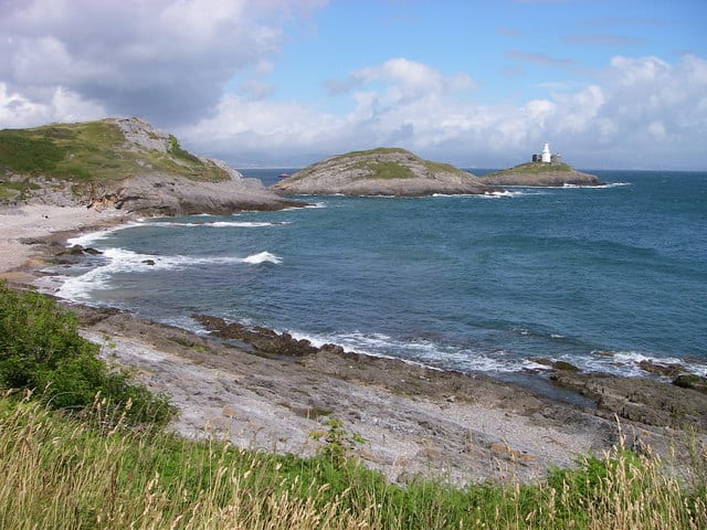
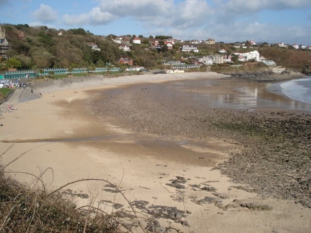
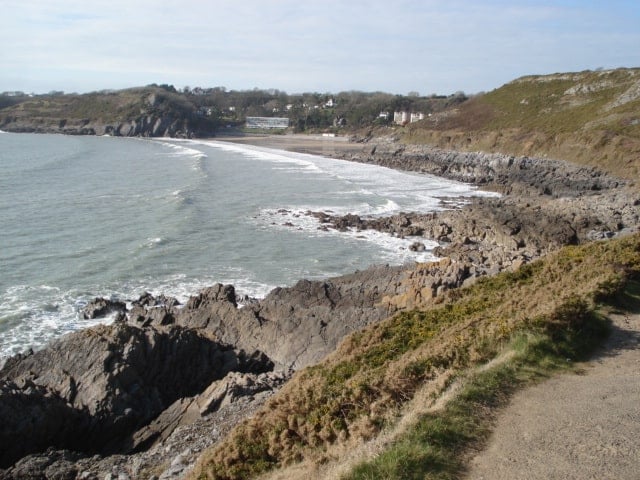
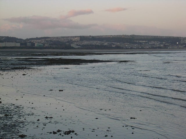
Limeslade Bay beach is a small sand and pebble tidal cove. At high tide the beach almost disappears and pebbly, but as the tide goes out, the sand is exposed, along with numerous rock pools.
A coastal path joins Limeslade with other local bays of Rotherslade, Langland and Caswell Bay.
Dog Friendly Beach?
We have no current information on dog restrictions for Limeslade Bay Beach.
Water samples are taken at regular intervals during the bathing season and at the end of the season the water quality is classified as: - Excellent: the highest classification meaning the water is cleanest - Good: generally good water quality - Sufficient: meets minimum standards - Poor: You are advised not to swim. The beach will stay open and an action plan should be in place to improve the water quality.
7 Day Weather Forecast
Today Expect a temp in the range 7℃ to 9℃ with wind speed 10.1 m/sec (WNW)
Thursday, Feb 02 Expect a temp in the range 7℃ to 8.5℃ with wind speed 7.1 m/sec (W)
Friday, Feb 03 Expect a temp in the range 8.8℃ to 9.4℃ with wind speed 10.4 m/sec (W)
Saturday, Feb 04 Expect a temp in the range 7.9℃ to 8.3℃ with wind speed 2.4 m/sec (W)
Sunday, Feb 05 Expect a temp in the range 3.2℃ to 6.7℃ with wind speed 5 m/sec (N)
Monday, Feb 06 Expect a temp in the range -0.6℃ to 1.4℃ with wind speed 1.8 m/sec (ENE)
Tuesday, Feb 07 Expect a temp in the range 1.2℃ to 2℃ with wind speed 2.6 m/sec (N)
Mumbles weather forecast from Yr, delivered by the Norwegian Meteorological Institute and NRK
Limeslade Bay Beach Tide Times
Tide times are available at around 600 locations and the closest location to Limeslade Bay Beach is at Mumbles 1.29 km (0.80 miles) away. Tides are displayed beneath for up to 7 days and we list both high and low water times along with the height.
Wed 01 Feb High Tide at 02:53 (Height 7.16m) Low Tide at 09:11 (Height 3.27m) High Tide at 15:33 (Height 7.33m) Low Tide at 21:38 (Height 3.08m)
Thu 02 Feb High Tide at 04:04 (Height 7.54m) Low Tide at 10:17 (Height 2.91m) High Tide at 16:34 (Height 7.71m) Low Tide at 22:35 (Height 2.69m)
Fri 03 Feb High Tide at 04:57 (Height 8.01m) Low Tide at 11:07 (Height 2.51m) High Tide at 17:22 (Height 8.11m) Low Tide at 23:19 (Height 2.30m)
Sat 04 Feb High Tide at 05:39 (Height 8.41m) Low Tide at 11:46 (Height 2.17m) High Tide at 18:02 (Height 8.43m) Low Tide at 23:56 (Height 1.99m)
Sun 05 Feb High Tide at 06:15 (Height 8.71m) Low Tide at 12:20 (Height 1.91m) High Tide at 18:36 (Height 8.66m)
Mon 06 Feb Low Tide at 00:29 (Height 1.75m) High Tide at 06:49 (Height 8.92m) Low Tide at 12:51 (Height 1.72m) High Tide at 19:09 (Height 8.82m)
Tue 07 Feb Low Tide at 01:00 (Height 1.58m) High Tide at 07:20 (Height 9.05m) Low Tide at 13:21 (Height 1.59m) High Tide at 19:40 (Height 8.91m)
In this 'you may also like' section we attempt to answer what else can I do? Here you have a list by order of being the closest some more beaches, things to see and do, places to eat and upcoming events.
The Potters Wheel is a Wetherspoon pub in Swansea. Our pub offers a range of real ales, craft beers and freshly ground Lavazza coffee. Breakfast is served until noon, with our full food menu available until 11 pm. Read more…
The Bank Statement is a Wetherspoon pub in Swansea, Swansea. Our pub offers a range of real ales, craft beers and freshly ground Lavazza coffee. Breakfast is served until noon, with our full food menu available until 11 pm. Read more…
Bracelet Bay is a small cove next to the lighthouse, west of Mumbles village. The beach is gently sloping and has lots of rock pools to explore and the sand is exposed as the tide drops. Swimmers need to be careful of the rocks and strong rip currents between the two islands of Mumbles Head. Facilities include a large car Read more…
Langland Bay beach is a wide sandy beach with pebbles and rocks at either side Popular surfing location, particular in the winter months. Facilities include a promenade , cafes and beach huts. Read more…
Caswell Bay Beach is a gently sloping and sandy beach, located on the south Gower Coast, west of Langland Bay and Mumbles Head. The sandy beach is between two limestone cliffs headlands and is ideal for families with large beach area and rock pools. Good surfing and ideal for beginners. Facilities include a promenade with several seaside shops, parking and Read more…
The four miles of Swansea Bay stretches from Swansea Marina at the mouth of the River Tawe to Mumbles Head in the west. The beach faces south east towards the Bristol Channel and the best sandy spots are towards the Swansea end of the bay. A promenade runs along the edge of the bay and in the middle is Blackpill, Read more…
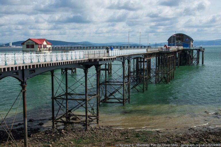
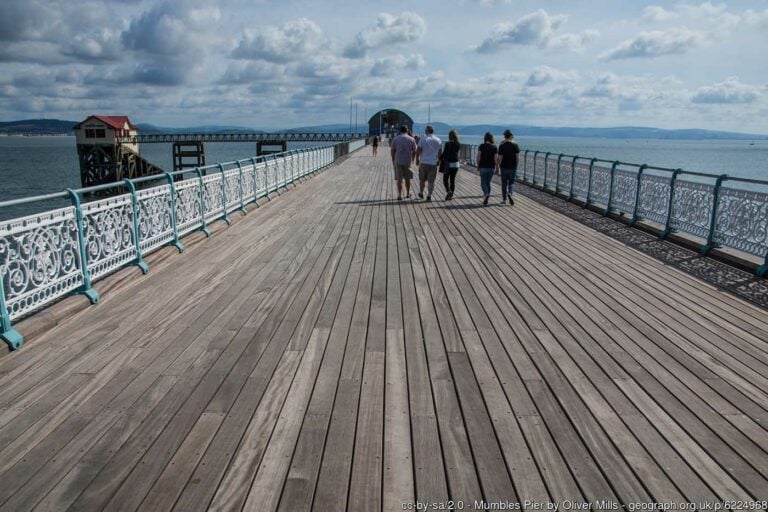
Mumbles Pier is a Victorian pier that opened in May 1898. At 835ft long, it is an iconic landmark for south Wales, located near the village of Mumbles in the southeastern corner of Swansea Bay. The pier is Grade II listed and has two RNLI Lifeboat stations, the new one at the end of the pier and then the older Read more…
The Mumbles lifeboat station was established in 1835 and operates inshore and all-weather lifeboats. The station has had many forms, initially, the lifeboat was housed on the shore under the Mumbles cliffs and was launched and rehoused along a stone slipway using block and tackle. After the first world war, a lifeboat house was erected on piles alongside the pier, Read more…
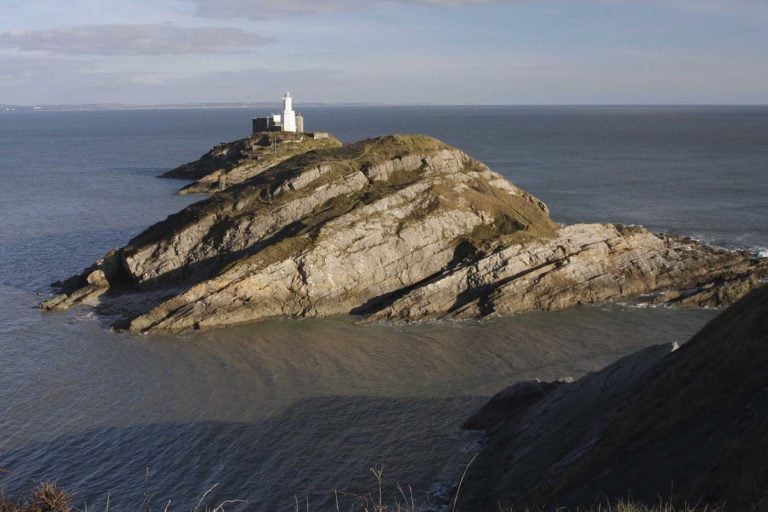
For over 200 years the Mumbles Lighthouse has guided vessels along the coast and into Swansea Bay, past the hazards of the Mixon Shoal ½ mile to the South. This unmanned lighthouse is built on the outer of two islands, known as Mumbles Head, lying about 500 yards to the E.S.E. of the mainland known as Mumbles, Swansea. The station Read more…
Oystermouth Castle is a Norman stone castle founded by William de Londres soon after 1106 following the capture of Gower by the Normans. Features include 14th century graffiti, plus people can explore the medieval maze of deep vaults and secret staircases and enjoy the magnificent views over Swansea Bay from the 30 foot high glass bridge. Read more…