Cape Wrath Ozone Cafe
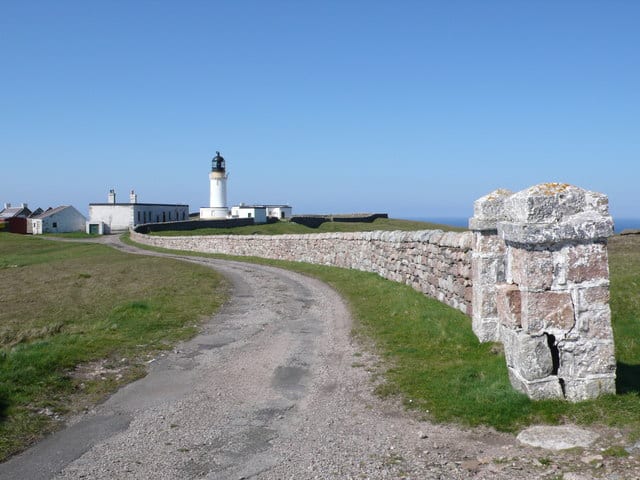
The Ozone Cafe can be found at the Cape Wrath lighthouse.
The cafe is open 365 days a year and serves a selection of hot and cold snacks, along with a selection of gifts and souvenirs.
Toilets are available at the cafe.
Planning your visit to Cape Wrath Ozone Cafe
Cape Wrath Ozone Cafe, Cape Wrath, Durness, The Scottish Highlands IV27 4QQ, United Kingdom
No Records Found
Sorry, no records were found. Please adjust your search criteria and try again.
Maps failed to load
Sorry, unable to load the Maps API.
(Get directions)
Cape Wrath Ozone Cafe 7 Day Weather Forecast
Durness weather forecast from Yr, delivered by the Norwegian Meteorological Institute and NRK
You may also like ...
In this 'you may also like' section we attempt to answer what else can do near Cape Wrath Ozone Cafe? Here you have a list by order of being the closest some more beaches, things to see and do, places to eat and upcoming events.
The Cafe at Bettyhill is open to serve lunch, dinner and coffee 6 days a week during the summer months. Food consists of light lunches, fish and chips, home baking, coffee and teas, and we also have a craft shop upstairs. As well as the summer months we are open on a Friday and Saturday evening all year round as
Read more…
The Farr Bay Inn is ideally located a few minutes walk from Farr beach and 15 minutes from Bettyhill. Each room includes a flat-screen TV with Amazon Fire TV, Netflix, on Demand Viewing and tea and coffee making facilities. The private bathrooms have complimentary toiletries and a hairdryer. Free WiFi is available throughout. As well as offering accommodation the Farr Bay
Read more…
The Alexander Bain is a Wetherspoon pub in Wick, Highland. Our pub offers a range of real ales, craft beers and freshly ground Lavazza coffee. Breakfast is served until noon, with our full food menu available until 11 pm.
Read more…
The Links Tea Room is located on Nairn beach and offers the usual tea, coffee, cake and hot food. You have a choice of inside and outside seating areas.
Read more…
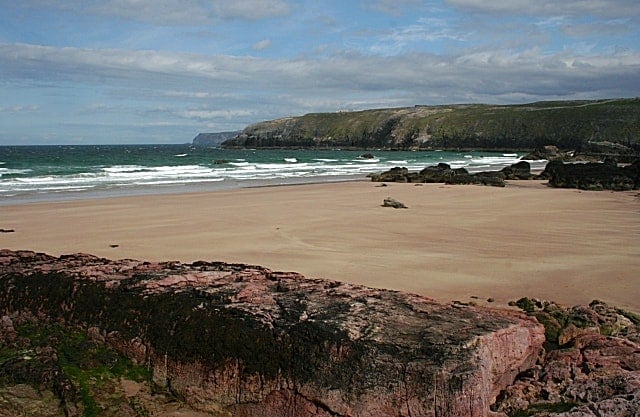
Kearvaig Bay is a spectacular white sandy beach located just over a mile from Cape Wrath, backed by sea stacks and rocks. The bay is to the east of Cape Wrath and what are the highest cliffs on the UK mainland. The location makes this a great place to visit and just observe the Scottish coastline and wildlife at its best. No facilities
Read more…
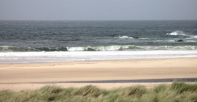
Sandwood Bay is a natural bay on the far north-west coast of Scotland and lies about 5 miles south of Cape Wrath. Spend time exploring the mile of golden sand and dunes, with rocky cliffs and the Am Buachaille, a giant sea stack. The large sandstone stack, Gaelic for The Herdsman, was first climbed in 1968 by Tom Patey and
Read more…
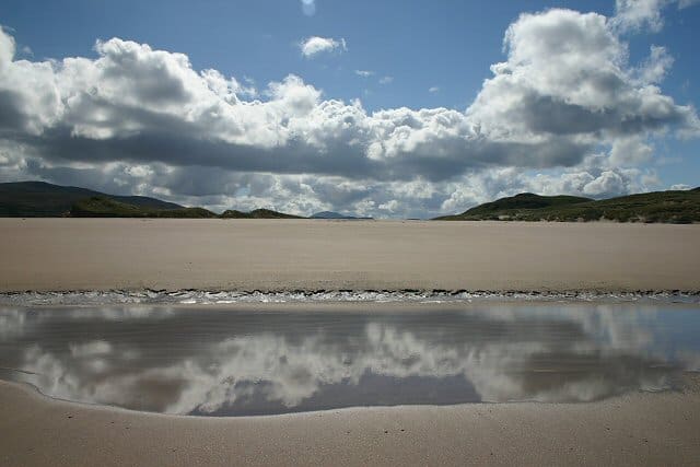
Balnakeil Bay, white sandy beach is wide and backed by a large area of tall sand dunes covered in marram grass. To the north is Faraid Head, home to military installations connected with the naval gunnery ranges towards Cape Wrath. The walk to the end of Faraid Head and back is a magnificent one. This is definitely a beach for
Read more…
Sango Bay beach is the perfect beach with a mix of sand, rock formations, and shelter provided by the cliffs. Village, shops, parking and Durness Visitor centre.
Read more…
The lighthouse was built in 1828 under engineer Robert Stevenson and is now listed as buildings of Architectural and Historic Interest. The White Tower is 20 metres high with 81 steps to the top and along with the lamp has a fog horn.
Read more…
The Lloyds Buildings were a signalling station established by Lloyd’s of London, the Marine and Commercial Insurers. Used to monitor passing ships, tracking their cargos, ports of departure and destination along with estimated arrival times. The complex is located by the Cape Wrath lighthouse and consists of three single-storey buildings, with a signal hut, cottages for staff accommodation and an
Read more…
Cape Wrath is the most North-Westerly point on the British mainland. Durness is the closest village some 10 miles (16km) to the south-east The sea cliffs around the cape rise to 281 metres (922 ft) above sea level and include the highest sea cliffs on the British mainland to the east of the headland. The headland also has many spectacular
Read more…
Am Buachaille is a sea stack, or vertical rock formation composed of Torridonian Sandstone. The stack is 65 metres (213 ft) high and located 1 mile (1.6 km) south-west of Sandwood Bay. It lies at the tip of the Rubh’ a Bhuachaille headland around 5 miles (8.0 km) north of Kinlochbervie. The stack is very popular with climbers and was first climbed
Read more…