Places Map
Loading...
No Records Found
Sorry, no records were found. Please adjust your search criteria and try again.
Maps failed to load
Sorry, unable to load the Maps API.
Popular Places
The two main beaches on Barry Island are Whitmore Bay between the two peninsulas of Friar’s Point and Nell’s Point, Read more…
Place Tags: Beaches
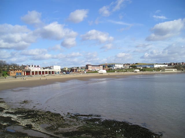
Whitmore Bay is huge sandy beach that lies between the two peninsulas of Friar’s Point and Nell’s Point. As the Read more…
Place Tags: Beaches and Seaside Awards
The RNLI established a lifeboat station and a boathouse and slipway were built in 1901. Read more…
Place Tags: Lifeboats
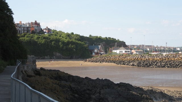
Jacksons Bay beach is a secluded bay, backed by cliffs with one end being formed by the breakwater at the entrance Read more…
Place Tags: Beaches and Seaside Awards
Barry Island has 24 vibrantly coloured beach huts with excellent views across Whitmore Bay. The huts come in two sizes: Read more…
Place Tags: Beach Huts


