Magilligan Beach
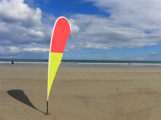
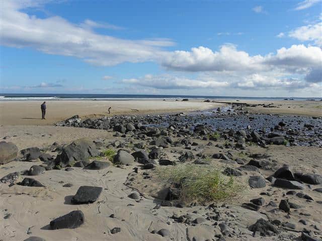
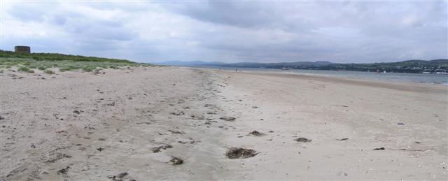
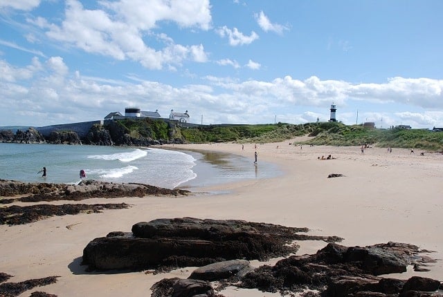
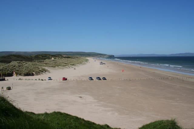
Magilligan Beach (Benone Strand) is located on the North West corner of Northern Ireland and stretches for 7 miles from Downhill to Magilligan Point.
Magilligan foreland is Ireland’s largest coastal accumulation comprising some 32 square km of marine and wind-blown sand deposits.
Facilities include car parking, shops, cafe/restaurant.
Magilligan Beach is a Blue Flag Beach.
Dog Friendly Beach?
Magilligan beach only allows dogs on leads.
Why not check other beaches nearby as we have 5 beaches in Derry, or check our list of Derry Dog Friendly Beaches.
Planning your visit to Magilligan Beach
Magilligan Beach, Benone Strand, Coleraine, Derry BT49 0LQ, United Kingdom
No Records Found
Sorry, no records were found. Please adjust your search criteria and try again.
Maps failed to load
Sorry, unable to load the Maps API.
(Get directions)
Magilligan Beach 7 Day Weather Forecast
Coleraine weather forecast from Yr, delivered by the Norwegian Meteorological Institute and NRK
Magilligan Beach Tide Times
Tide times are available at around 600 locations and the closest location to Magilligan Beach is at Portrush 13.70 km (8.51 miles) away. Tides are displayed beneath for up to 7 days and we list both high and low water times along with the height, helping you to plan the best time to visit Magilligan Beach. These times are not adjusted for BST.
Wed 20 Sep
Low Tide at 03:06 (Height 0.80m)
High Tide at 09:20 (Height 1.87m)
Low Tide at 15:11 (Height 0.76m)
High Tide at 21:33 (Height 1.86m)
Thu 21 Sep
Low Tide at 03:51 (Height 0.90m)
High Tide at 10:13 (Height 1.75m)
Low Tide at 16:07 (Height 0.92m)
High Tide at 22:31 (Height 1.69m)
Fri 22 Sep
Low Tide at 04:57 (Height 1.02m)
High Tide at 12:11 (Height 1.67m)
Low Tide at 17:35 (Height 1.05m)
Sat 23 Sep
High Tide at 00:54 (Height 1.57m)
Low Tide at 07:11 (Height 1.09m)
High Tide at 13:46 (Height 1.71m)
Low Tide at 19:47 (Height 1.07m)
Sun 24 Sep
High Tide at 02:46 (Height 1.57m)
Low Tide at 09:00 (Height 1.05m)
High Tide at 15:00 (Height 1.81m)
Low Tide at 21:44 (Height 0.96m)
Mon 25 Sep
High Tide at 04:04 (Height 1.64m)
Low Tide at 09:52 (Height 0.95m)
High Tide at 15:50 (Height 1.95m)
Low Tide at 22:29 (Height 0.81m)
Tue 26 Sep
High Tide at 04:45 (Height 1.72m)
Low Tide at 10:23 (Height 0.80m)
High Tide at 16:29 (Height 2.12m)
Low Tide at 22:58 (Height 0.64m)
Contains ADMIRALTY® tidal data: © Crown Copyright and database right.
You may also like ...
In this 'you may also like' section we attempt to answer what else can do near Magilligan Beach? Here you have a list by order of being the closest some more beaches, things to see and do, places to eat and upcoming events.
The Bridge House is a Wetherspoon pub in Belfast, County Antrim. Our pub offers a range of real ales, craft beers and freshly ground Lavazza coffee. Breakfast is served until noon, with our full food menu available until 11 pm.
Read more…
The Spirit Merchant is a Wetherspoon pub in Newtownards, County Down. Our pub offers a range of real ales, craft beers and freshly ground Lavazza coffee. Breakfast is served until noon, with our full food menu available until 11 pm.
Read more…
The Ettrick Bay Tearoom is right on the beach and serves home-cooked meals.
Read more…
The Salt Cot is a Wetherspoon pub in Saltcoats, North Ayrshire. Our pub offers a range of real ales, craft beers and freshly ground Lavazza coffee. Breakfast is served until noon, with our full food menu available until 11 pm.
Read more…
Downhill beach offers visitors a long stretch of sandy beach with great surf making it an ideal spot for water sports and long walks with the dog or just a spot of sunbathing in the warmer months. Downhill beach offers a wonderful way to enjoy the natural beauty of this area of UK coastline with scenic walks and areas of
Read more…
Castlerock beach is a mile of sandy beach backed by grass covered dunes that runs west-wards from the mouth of the River Bann. Facilities include car parking, seasonal lifeguards, toilets and an open-air heated swimming pool by the beach.
Read more…
Magilligan Point is the tip of one of the largest (7 miles) sand dune systems in the British Isles. The coastline constantly changes with winter storms and this is one of the main reasons the site has been declared a nature reserve. Magilligan Point guards the mouth of Lough Foyle and is home to Lough Foyle Ferry and Martello Tower.
Read more…
Shroove beach is a small sandy beach on the Inishowen peninsula and close to the North Inishowen Natural Heritage Area. Facilities include car parking, toilets and seasonal lifeguards.
Read more…
Stunning Mussenden Temple, perched upon a precipitous cliff edge in a dramatic coastal setting. Cliff-top and garden walks with breathtaking views. Striking 18th-century ruins to explore.
Read more…
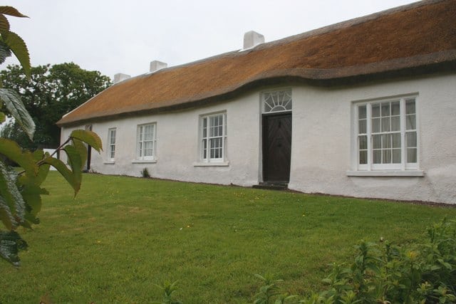
Hezlett House, 17th-century thatched cottage and garden which was built in 1691 but bought by Isaac Hazlett in 1776. The cottage has an interesting cruck-truss roof construction. One of only a few buildings in Northern Ireland to survive from before the 18th century, furnished in late-Victorian style.
Read more…
Inishowen Head is on the north-east of the Inishowen Peninsula, surrounded by water, its northern shore is on the Atlantic Ocean with Lough Swilly forming its western boundary and Lough Foyle to the east. This is a remote location with some great views and ideal walking.
Read more…
Waterworld is a family water park located by the harbour in Portrush, The centre includes a water playground, 6 slides, waterslides and water cannons. For those not interested in the water you also have a Ten Pin Bowling facility with 6 lanes.
Read more…