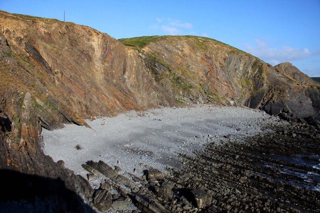
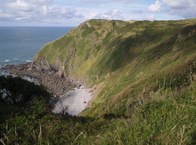
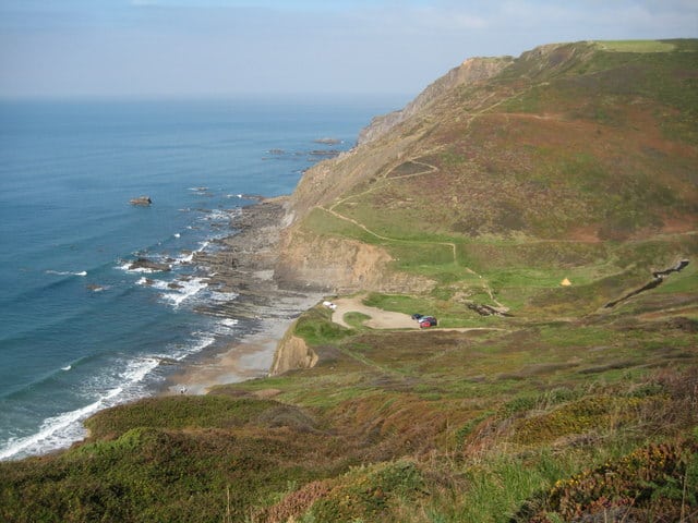
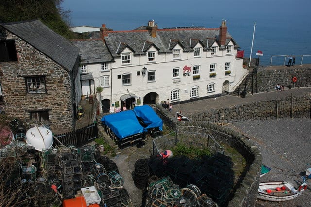
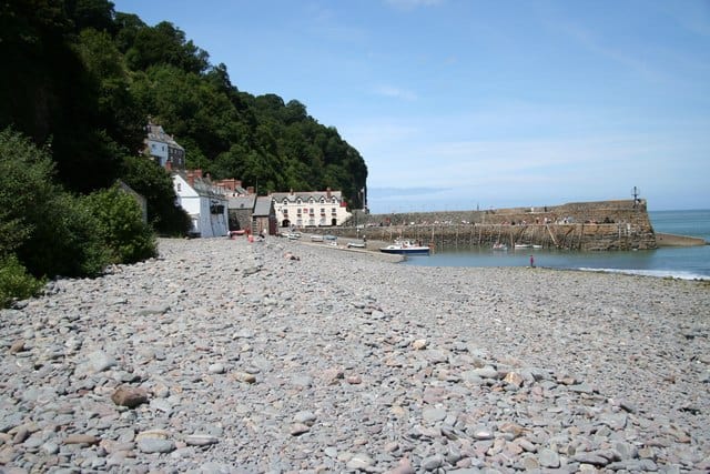
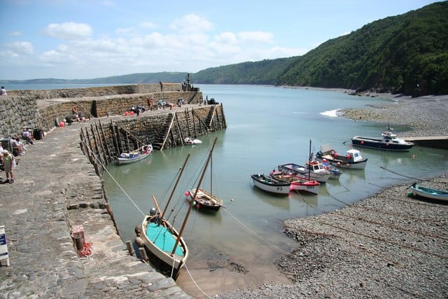
Hartland Quay beach is rock, shingle and has spectacular rock and cliff scenery and an old Elizabethan harbour. This is the most north-westerly settlement in Devon.
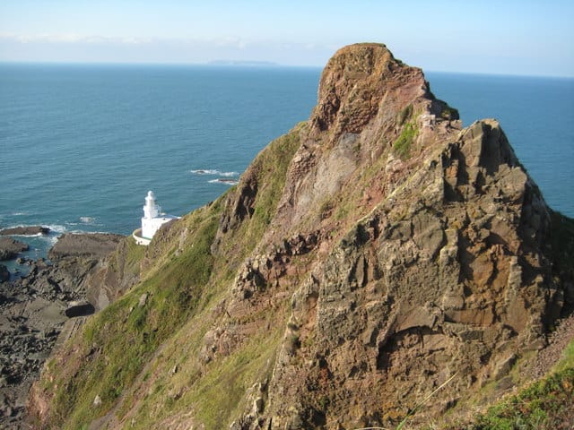
Hartland is a convenient centre for walking parts of the South West Coast Path, and the wild coastal scenery around the point is some of the most dramatic on the path, with excellent views across to Lundy Island.
Facilities include parking, toilets and food.
The Lundy Company operate their helicopter service to Lundy, during the five months from November to March from Hartland Point.
Water samples are taken at regular intervals during the bathing season and at the end of the season the water quality is classified as: - Excellent: the highest classification meaning the water is cleanest - Good: generally good water quality - Sufficient: meets minimum standards - Poor: You are advised not to swim. The beach will stay open and an action plan should be in place to improve the water quality.
7 Day Weather Forecast
Today Expect a temp in the range 9.3℃ to 9.5℃ with wind speed 10.2 m/sec (WSW)
Friday, Feb 03 Expect a temp in the range 9.2℃ to 9.4℃ with wind speed 10.1 m/sec (WSW)
Saturday, Feb 04 Expect a temp in the range 8.3℃ to 8.7℃ with wind speed 5.2 m/sec (SW)
Sunday, Feb 05 Expect a temp in the range 7.2℃ to 9℃ with wind speed 4.9 m/sec (WNW)
Monday, Feb 06 Expect a temp in the range 3℃ to 3.8℃ with wind speed 3.7 m/sec (SSE)
Tuesday, Feb 07 Expect a temp in the range 3.9℃ to 4.7℃ with wind speed 4.5 m/sec (SSE)
Wednesday, Feb 08 Expect a temp in the range 4.2℃ to 6.2℃ with wind speed 1.8 m/sec (ESE)
Bideford weather forecast from Yr, delivered by the Norwegian Meteorological Institute and NRK
Hartland Quay Beach Tide Times
Tide times are available at around 600 locations and the closest location to Hartland Quay Beach is at Clovelly 9.37 km (5.82 miles) away. Tides are displayed beneath for up to 7 days and we list both high and low water times along with the height.
Thu 02 Feb High Tide at 03:35 (Height 6.65m) Low Tide at 10:01 (Height 2.43m) High Tide at 16:02 (Height 6.74m) Low Tide at 22:19 (Height 2.29m)
Fri 03 Feb High Tide at 04:27 (Height 7.04m) Low Tide at 10:53 (Height 2.12m) High Tide at 16:49 (Height 7.08m) Low Tide at 23:06 (Height 2.00m)
Sat 04 Feb High Tide at 05:08 (Height 7.39m) Low Tide at 11:35 (Height 1.84m) High Tide at 17:28 (Height 7.36m) Low Tide at 23:45 (Height 1.75m)
Sun 05 Feb High Tide at 05:45 (Height 7.65m) Low Tide at 12:12 (Height 1.62m) High Tide at 18:04 (Height 7.56m)
Mon 06 Feb Low Tide at 00:21 (Height 1.56m) High Tide at 06:18 (Height 7.83m) Low Tide at 12:45 (Height 1.47m) High Tide at 18:36 (Height 7.69m)
Tue 07 Feb Low Tide at 00:52 (Height 1.42m) High Tide at 06:49 (Height 7.93m) Low Tide at 13:14 (Height 1.38m) High Tide at 19:06 (Height 7.76m)
Wed 08 Feb Low Tide at 01:21 (Height 1.35m) High Tide at 07:20 (Height 7.97m) Low Tide at 13:42 (Height 1.35m) High Tide at 19:37 (Height 7.76m)
In this 'you may also like' section we attempt to answer what else can I do? Here you have a list by order of being the closest some more beaches, things to see and do, places to eat and upcoming events.
Beach: Westward Ho! View: Perched on the cliff top overlooking Bideford Bay and Lundy Island, with Westward Ho’s sandy beach below. What’s on the menu?: A seafront bar and bistro offering British classics; great seafood and steaks. Read more…
Beach: Westward Ho! View: Situated right on the seafront overlooking Westward Ho!’s great expanse of golden sandy beach What’s on the menu?: Freshly cooked, homemade food, great cakes Read more…
Beach: Saunton Beach View: Located directly on the beach overlooking Saunton Sands. What’s on the menu?: Breakfasts and light bites during the day; informal bistro serving steaks, salads and pasta at night. Fully licensed. Read more…
Beach: Woolacombe Beach View: Enjoy the views over the three miles of sandy Woolacombe Beach from the café’s balcony. What’s on the menu?: Breakfasts, light snacks and homemade cakes during the day. At night the café is transformed into a more romantic spot, serving grilled meat and fish, great BBQs and buffets. Read more…
Shipload Bay beach is sandy and very hard to get to. Shipload Bay, lies on the northern side of the Hartland peninsular on the coastal footpath. No facilities. We have no dog information for Shipload Bay beach. Read more…
Welcombe Mouth is a Site of Special Scientific Interest. It is home to many specialist plants which can cope with the dry salt spray scattered by the sea. Accessible by lane and track this is a slate grey shingle beach. No facilities other than a small car park. Read more…
Clovelly beach is pebble (sand at low tide) and holds a sheltered position, carved into the 400ft cliffs of this far North stretch of the Devon coast, has been a favorite Devon visitor spot for many years. If you wander down the pebble beach you get excellent estuary views and a waterfall pouring out of the cliff face down to Read more…
The beach at Westward Ho! is known for its surf and clean sand backed by a pebble ridge and grasslands which extends for about three miles. The beach is one long stretch but sections have their own names including Sandymere beach and Northam beach. At low tide the many rock pools which will keep children entertained. The beach has designated Read more…
Hartford Abbey is within a designated Area of Outstanding Natural Beauty where you can wander around the beautiful gardens and grounds which lead to the rocky cove. Read more…
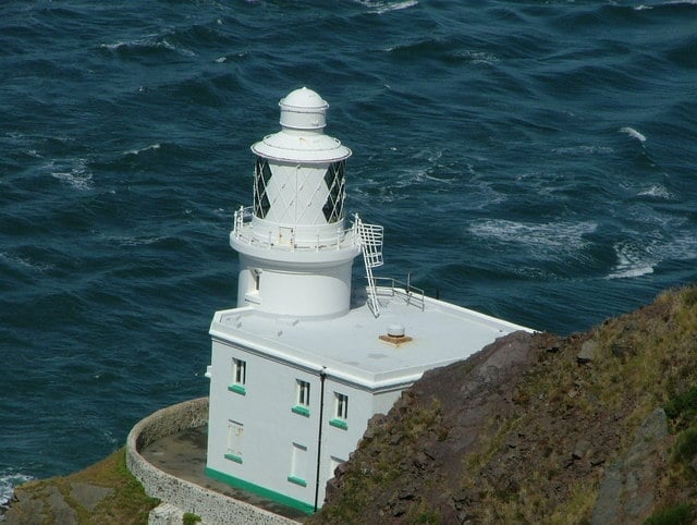
Hartland Point Lighthouse gives a guide to vessels of all types approaching the Bristol Channel, the lighthouse was built by Trinity House in 1874 under the direction of Sir James Douglass. Hartland Point lighthouse, built on a large rock at the tip of the point, was threatened by the undermining action of the sea to such an extent that rock Read more…
Hartland Point is a 325 ft (99 m) high rocky outcrop of land on the northwestern tip of the Devon coast. The Hartland Peninsula is an Area of Outstanding Natural Beauty and the point marks the western limit (on the English side) of the Bristol Channel with the Atlantic Ocean continuing to the west. Read more…
Clovelly has a single steep cobbled street that runs down past 16th Century fisherman’s cottages to the harbour. The road is half a mile (0.8km) long but drops some 400ft (122m). Once at the bottom Clovelly harbour is a 13th Century stone quay. Clovelly has not been spoilt by the holiday trade over the years as it is owned by Read more…