Places Map
Loading...
No Records Found
Sorry, no records were found. Please adjust your search criteria and try again.
Maps failed to load
Sorry, unable to load the Maps API.
Popular Places
Showing Places 1-12 of 15
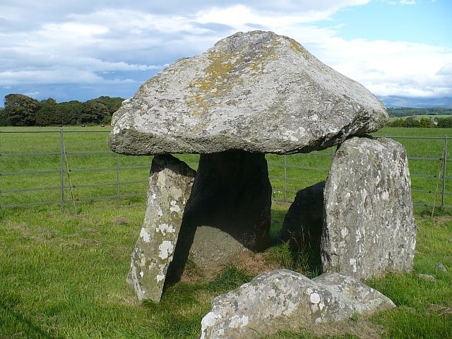
Bodowyr Burial Chamber is a Neolithic chambered tomb. The chamber has three upright stones about a metre high supporting a robust, Read more…
Place Tags: History - Heritage
RSPB South Stack Centre is on top of the cliffs overlooking the South Stack lighthouse and the cliff-side nesting colonies. Read more…
Place Tags: Animals - Wildlife and Outdoors - Nature
Porth Nobla beach is a sandy beach tucked under the cliffs of the headland and the beach is dotted with Read more…
Place Tags: Beaches
Caer Gybi Roman Fort is small rectangular for overlooking the harbour which formed a defense against raiders from across the Read more…
Place Tags: Castles and Forts and History - Heritage
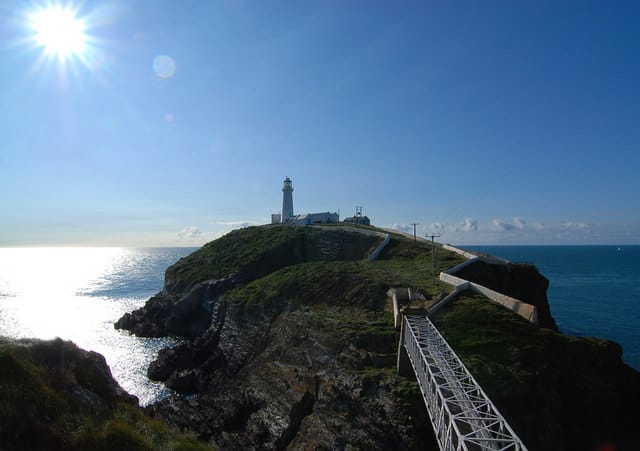
Situated near the north west tip of Wales, the tiny islet known as South Stack Rock lies separated from Holyhead Read more…
Place Tags: Lighthouses
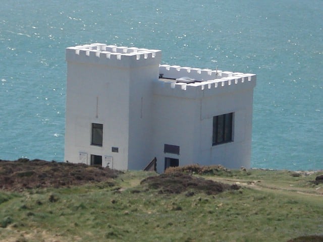
Holyhead lifeboat station was established in 1828 and now operates inshore and all weather lifeboats. RNLI shop open but station Read more…
Place Tags: Lifeboats
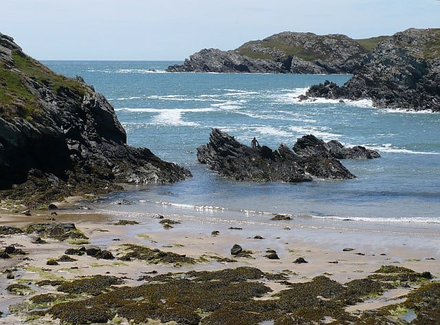
Porth Dafarch beach is a sandy beach within a sheltered cove. A great location for families as it is sheltered Read more…
Place Tags: Beaches
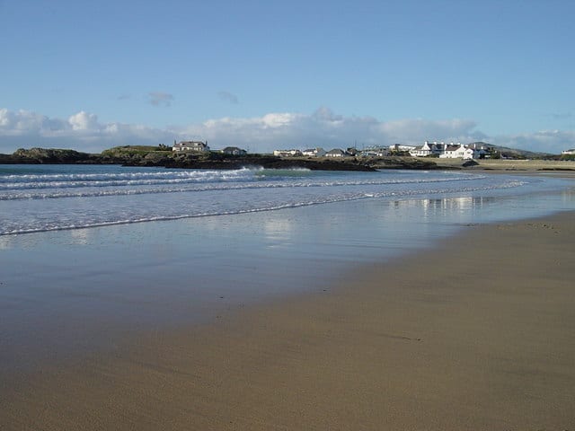
Trearddur Bay beach is a small sandy beach sheltered with rocks at either end. Popular beach for watersports. Facilities include parking, Read more…
Place Tags: Beaches
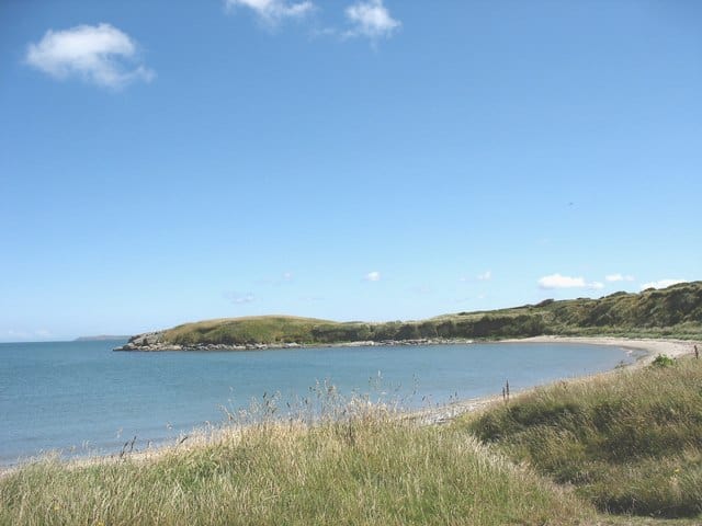
Penrhos Beach is a sandy curving beach backed by a grass area and hard path. Facilities include car parking and toilets. Read more…
Place Tags: Beaches
The Wales Coast Path includes the Isle of Anglesey, a circular walk of 125 miles / 200km that takes an Read more…
Place Tags: Activities and Outdoors - Nature
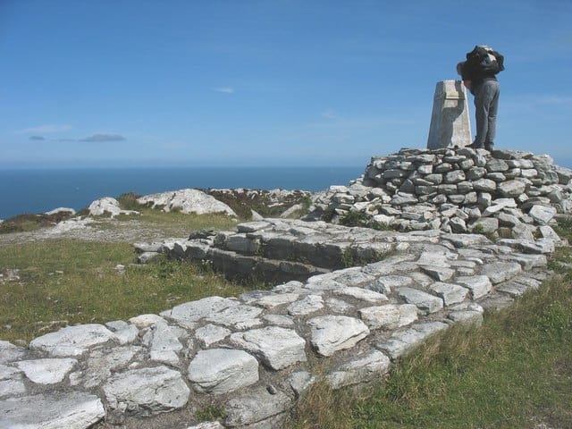
Caer y Tŵr, Iron Age hill fort with late Roman watchtower, on the summit of Holyhead mountain. Read more…
Place Tags: Castles and Forts and History - Heritage
Trearddur Bay lifeboat station was established in 19677 and operates two inshore lifeboats. Station has limited opening times and shop Read more…
Place Tags: Lifeboats
Showing Places 1-12 of 15

