
England already has many excellent coastal footpaths, but there are plans to create a new National Trail. When complete, the King Charles III England Coast Path will be one of the longest coastal walking routes in the world. It’s being worked on in sections – map showing progress here.
In the meantime, you have some existing footpaths that allow access to beaches, cliff-tops and headlands around our great and varied coast.
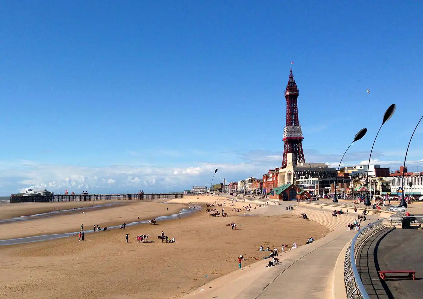
Bournemouth Coast Path

A 20 mile (32 km) path follows the coastline and goes through Bournemouth, Boscombe, Southbourne, Hengistbury Head, Mudeford and Highcliffe.
Cleveland Way
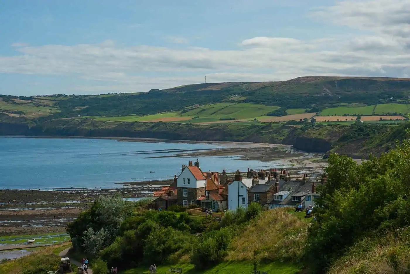
A National Trail in ancient Cleveland in northern England. It runs 110 miles (177 km) from Helmsley to the Brigg at Filey, skirting the North York Moors National Park.
Cumbria Coastal Way
A long distance (185 miles/298 km) footpath allows users to travel from Cumbria’s southern border to just north of the English-Scottish border.
Isle of Wight Coastal Path
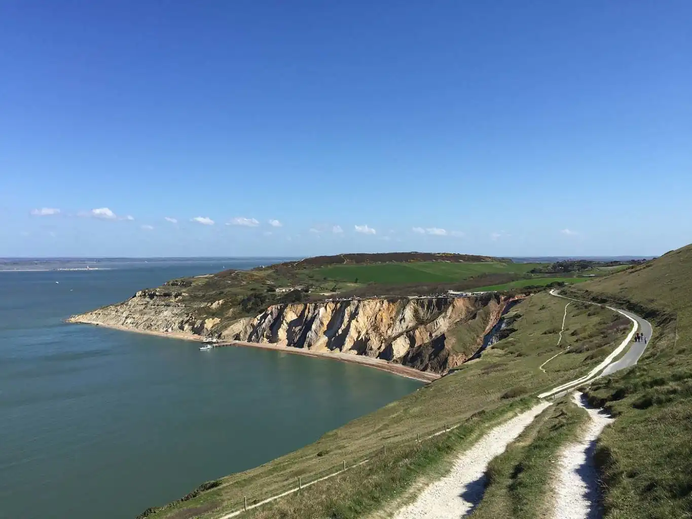
A circular long-distance footpath of 67 miles (107 km) around the Isle of Wight, following public footpaths and minor lanes, with some sections along roads.
Lancashire Coastal Way
A long distance (66 miles/106 km) footpath following the Lancashire coast in the northwest of England. It starts at Freckleton in the south and ends at Silverdale in the north. From Silverdale, you can join the Cumbria Coastal Way.
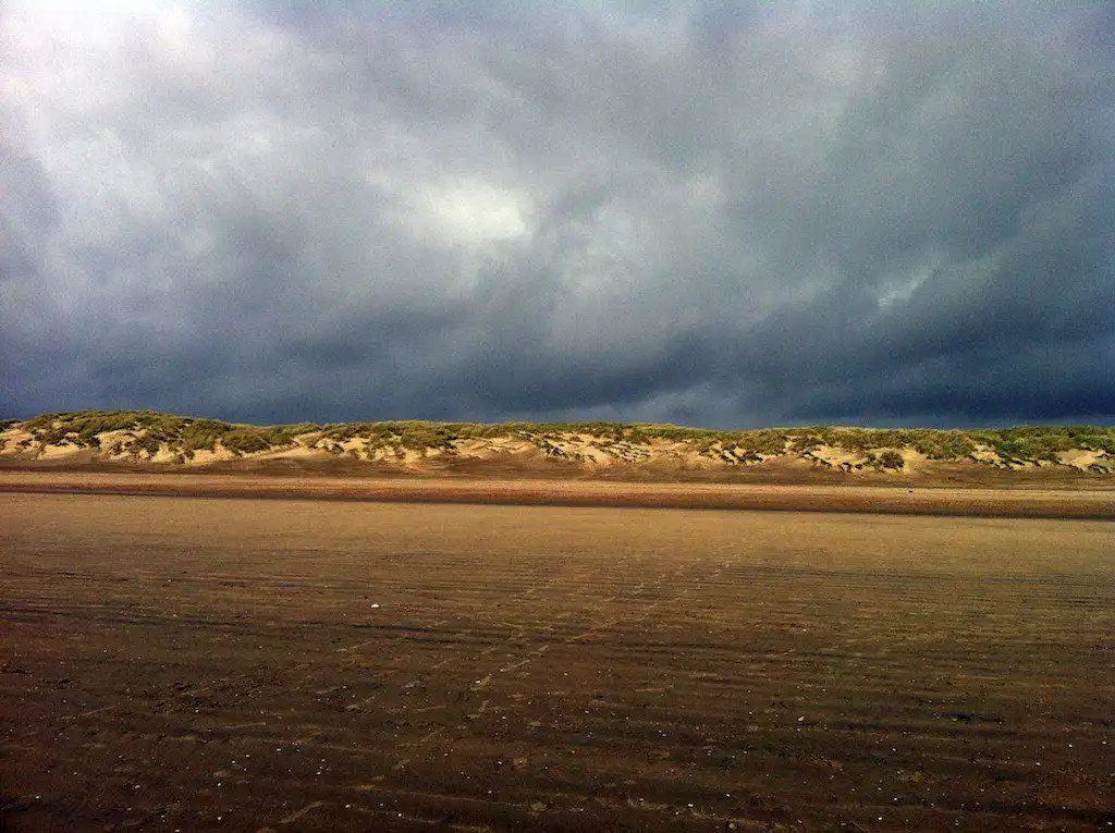
Norfolk Coast Path

A long-distance footpath in Norfolk, running 45 miles (72 km) from Hunstanton to Cromer, covers the North Norfolk Coast AONB (Area of Outstanding Natural Beauty).
Saxon Shore Way
A long distance footpath starts at Gravesend in Kent and follows the South-East coast as far as Hastings, East Sussex, 163 miles (262 km).
Solent Way

A 60 mile (97 km) long-distance footpath in Hampshire that follows the coast of the Solent, the sea strait that separates Bournemouth on mainland England from the Isle of Wight.
South West Coast Path
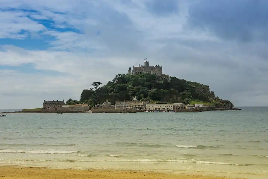
England’s longest waymarked footpath and a National Trail. It stretches for 630 miles (1,014 km), running from Minehead in Somerset, along with the coasts of Devon and Cornwall, to Poole Harbour in Dorset.
Suffolk Coast Path

A long distance (50 miles/80 km) footpath along the Suffolk Heritage Coast. The path runs along river and sea walls, across marsh, heath, foreshore and cliffs, starting at Felixstowe and ending at Lowestoft.
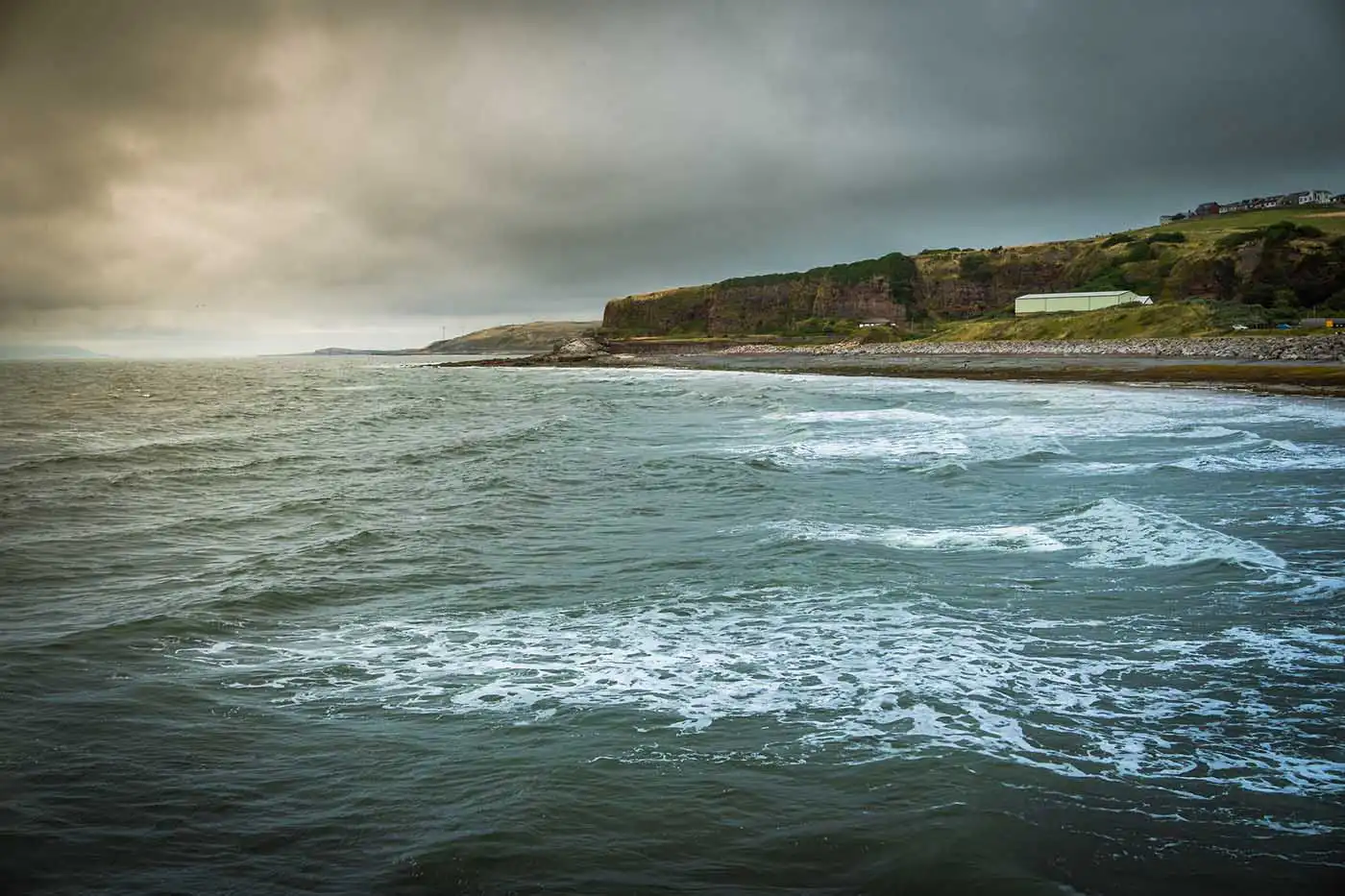
West Somerset Coast Path
A long distance (25 miles/40 km) footpath links the northern end of the South West Coast Path to the River Parrett Trail in Somerset. Running from the Steart Peninsula, and passes through the villages of Kilve, West Quantoxhead, Williton, Watchet, Blue Anchor, and Dunster beach to Minehead.
Why not start exploring by using our Coast Map.