Find the nearest Beaches in Antrim
Planning a trip to the Antrim coast and looking for where the nearest beach is, our beach lists will help you discover the nearest beach to me. Then for each beach, we will answer questions around location, rural or town, sandy or pebble, rockpools, tide times, weather forecast, dog restrictions, bathing water quality, closest beach cafes and provide general information on the beach and its facilities.
When on a beach page use our tools to search nearby Antrim seaside towns and the surrounding coast for things to see and do or places to stay and eat.
If you are looking for an award-winning beach then you can browse our Blue Flag lists or Seaside Award lists.
Finding the right beach in Antrim is easy – simply explore the beach links below, to find the closest hit the jump to my location compass or use the search bar to plan where your next Antrim beach visit should be.
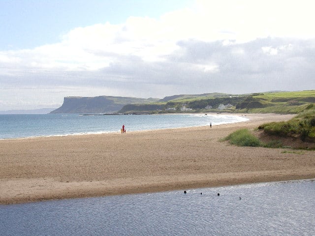
- Ballycastle beach is over a kilometre long and overlooks the Mull of Kintyre. It’s a sandy beach whose backdrop is dramatic cliffs on one side and great castle ruins on the other above a massive limestone outcrop. You can see Rathlin Island from here and take a boat trip to go diving at one of the wrecks there but be careful as the waters can be dangerous! Pans Rocks (the remains of an iron salt pan) is at the far end of the beach that juts out to the sea and is a popular location for fishing. They are easily accessible by a footbridge and look out for the face carved in the rock! The Devils Churn is just beyond Pans Rocks. Steps have been carved into the stone to an underwater tunnel. The sea floods and empties the tunnel hypnotically making a thunderous eerie noise. The town is at the northern tip of the Antrim Coast and Glens Area of Outstanding Natural Beauty. Ballycastle is also famous for its Lammas Fair, which is held every year on the last Monday and Tuesday of August. A popular cycling route runs from Ballycastle to Cushendun, by way of Torr Head, offering spectacular views and scenery. Facilities at the beach include parking, promenade, seasonal lifeguards, wheelchair access, toilets and child-friendly areas. It’s about a 5 minute walk to the town with all its amenities.
- Glenarm beach is within a sheltered sandy bay. To one end of the beach separated by a bridge over the river is a picturesque limestone harbour, this deep harbour has fully serviced pontoon berths available for resident and visiting yachts. The village of Glenarm is a conservation area and the main street leads to Glenarm Forest. Glenarm Forest Park is an 800-acre (3.2 km2) nature preserve once part of the demesne of Glenarm Castle, but now a public park and maintained by the Ulster Wildlife Trust. The name Glenarm means “valley of the army”. Facilities include parking, grass areas, harbour, slipway, children’s play area and places to eat a short walk into the village.
- Brown’s Bay is a sandy beach at the northern tip of Islandmagee a peninsula located between the towns of Larne and Carrickfergus with Larne Lough separating from the mainland. The beach leads to a coastal path which leads to Skernaghan Point. Facilities at the beach include parking, toilets (disabled), campsite and shop.
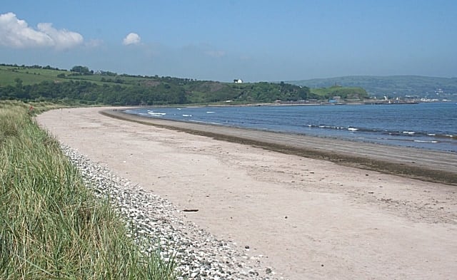
- Cushendall beach is a sandy beach within Cushendall Bay, backed by grassland and a golf course. The Glenaan River enters the sea on the beach and for facilities you will need to go to the town itself.
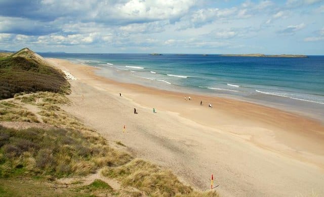
- White Park Bay is a brilliant family sandy beach ideal for sandcastles, picnics, lazing in the sun and walks. White Park Bay beach is backed by ancient dunes, declared area of scientific interest that provide a range of rich habitats for bird and animal life. When on the beach you will be surprised by the beauty of this North Antrim coast, and as the beach is large you’ll never find it too busy. White Park Bay was one of the earliest settlements in Ireland and evidence of these Neolithic settlers are continually being exposed on the raised beach and sand dune system. It is known that the manufacturing and exporting of axes and arrow heads took place from here, the limestone cliffs being a rich source of flint nodules. Three passage tombs stand on the high points of surrounding hills overlooking the bay, the most striking being the dolmen known as the Druid’s Altar which was placed on the highest point above the bay. At one end of this beautiful sweeping bay, sheltered below the cliffs is the small fishing hamlet of Portbraddon and at the other end Ballintoy harbour. White Park Bay was donated to The National Trust by the Youth Hostel Association of Northern Ireland in 1938 and is among the most painted and photographed scenes in Northern Ireland.
- Waterfoot is a long sandy beach in the bay that has 2 piers; one is in ruin whilst the other is more intact. Facilities include parking and picnic sites.
- Runkerry Strand beach, also known as Bushfoot Strand and Blackrock Strand, is 1.2 km long with a general north east/south west shoreline except at the north-east end where it swings north to Runkerry Head. The river Bush enters the bay at the south-west corner. The beach is backed by sand dunes. Runkerry is one of the best surfing beaches in the UK, the Atlantic rollers hit the cost with waves between a low of 2ft in summer and a high of 12ft during stormy winter weather. Runkerry beach is known for strong rip currents and shelving with swimming being not advised. If you don’t know the beach check with a local before surfing or entering the water. Parking available and more facilities in Portballintrae itself.
- Portrush West Strand beach is a sheltered sandy beach in the town next to the harbour. Watersports include windsurfing, canoeing and sailing. The west beach is closer to Portrush amenities than Whiterocks (East Strand) beach. Facilities include car parking, shops, harbour, toilets and places to eat.
- Portrush Whiterocks Beach is backed by long white limestone cliffs that have been carved into arches and caves that fascinate visitors. We have listed one beach, but this 3 miles of glorious beach stretches from Portrush to Dunluce Castle, the area close to Portrush is Portrush East beach and has a Seaside Award where the eastern end is Whiterocks beach that has a Blue Flag award. A lot of the arches have been named like the Wishing Arch and the Lion’s Paw and you can sit here on the grassy patches all along the beach and enjoy fantastic ocean views and great spots for the ultimate beach picnics. Watersports are popular here and you’ll spot surfers and surf hire shops as well as the odd cafe. On the main coast road, you will find pull-in areas and a large car park where you can take in the incredible views of the headlands to the Giant’s Causeway and back to Portrush and Donegal. Facilities include parking, toilets and cafe.
- Cushendun beach is a sandy beach with some pebbles and rocks with a grassy area between the coast road and the beach. The River Dun enters the sea at the south end of the beach with a small harbour. Car parking available.
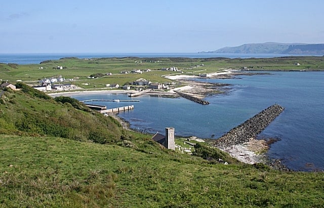
- Rathlin Island has endless beaches, it’s six miles long and one mile wide and you’ll enjoy finding out more about the shipwrecks. The shore line is dotted with benches and other spots to enjoy your fresh fish and chip supper whilst you watch the seals, kittiwakes and gulls. There are a few good beaches on the island and plenty of excellent walks too. To get to the island, you’ll need to take the ferry from Ballycastle, once on the Island you have cafes and restaurants.
- Ballygally beach is a sandy beach with safe bathing and the headland of Ballgalley Head is a popular destination for families. This is a town beach and so Ballygally has a village shop, post office, children’s play area, car parking, toilets and a slipway for small craft.